Aligning Cloud Movement Data with Navigation Routes in Aerial Exploration Games
Written by Mia Powell · Aug 19, 2026
Aligning Cloud Movement Data with Navigation Routes in Aerial Exploration Games
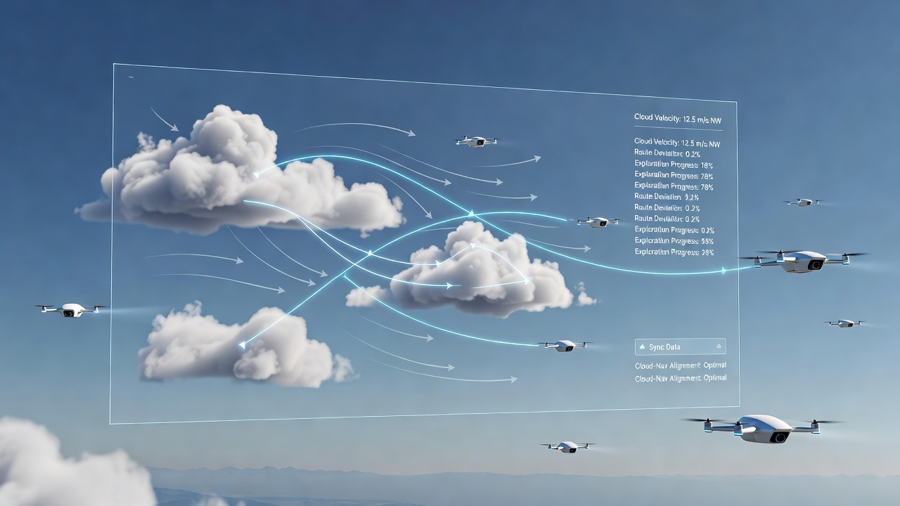
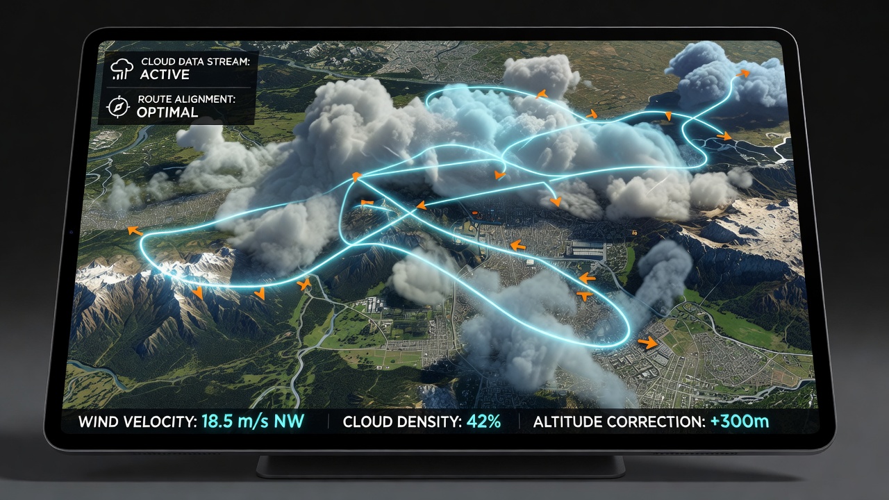
Developers working on aerial exploration titles integrate cloud movement data directly into route planning systems so that procedural weather patterns influence pathfinding algorithms without disrupting player progress, and this synchronization relies on real-time simulation engines that pull from meteorological datasets while adjusting for in-game variables such as altitude shifts and wind vectors. Researchers at institutions focused on simulation technology have documented how game engines sample cloud velocity vectors at multiple grid points across a play area, then feed those readings into navigation meshes that reroute aircraft or glider models accordingly. One common approach involves layering particle systems for cloud rendering atop vector fields that mirror observed atmospheric flows, which allows the game to predict where dense formations will drift during extended flights adn update waypoint markers on the fly. Data from satellite sources informs these models, yet developers scale the inputs down to match the scope of a single session rather than global weather systems.Core Data Sources and Integration Methods
Teams pull cloud movement information from archives maintained by organizations like the Japan Meteorological Agency, which supplies high-resolution wind and humidity readings that translate into game-ready parameters for density and speed. These feeds combine with internal game clocks so that cloud positions evolve consistently across multiplayer instances, and engineers test the alignment by comparing predicted versus actual drift in controlled scenarios. Navigation routes adapt through weighted graphs where cloud-obstructed zones receive higher cost values, prompting the system to suggest detours that maintain momentum while avoiding turbulence zones.
Studies from university labs in Europe show that such alignments reduce collision events between player vehicles and environmental hazards by measurable margins when tested against baseline versions that ignore dynamic clouds. The process often incorporates machine learning classifiers trained on playtest telemetry, which refine thresholds for when a cloud bank should trigger a route recalculation versus a simple visual overlay.Technical Implementation in Game Engines
Engineers embed cloud alignment logic inside the physics update loop, where each frame samples current navigation vectors against interpolated cloud positions derived from earlier frames. This creates a feedback loop in which route adjustments influence how aggressively the simulation advances cloud particles, and vice versa. Observers note that successful implementations maintain frame consistency above 60 updates per second even when handling thousands of individual cloud elements across an open skybox. Developers apply spatial partitioning techniques to limit computation to relevant sectors around the player craft, which prevents unnecessary processing of distant weather formations that hold no bearing on immediate navigation choices. In titles released through 2025, these optimizations allowed larger map scales without proportional increases in hardware demands.